
A significant winter weather event will move through Kansas Wednesday evening through Thursday, bringing a potential triple threat of accumulating snowfall, strong winds and arctic air intrusion.
The National Weather Service says a Winter Storm Watch goes into effect from 6 p.m. Wednesday evening through midnight Thursday. A Wind Chill Warning is also in effect from midnight Thursday through noon Friday. Snowfall in the Manhattan area is expected to be around 2 to 4 inches, but should move through the area by midday Thursday.
The primary concern is the wind, which forecasters say will be sustained at 20 to 30 mph with gusts as high as 45 mph possible through Thursday, continuing to gust on Friday. This will lead to blowing snow and could reduce visibility to a quarter of a mile or less and could produce near-blizzard conditions. It is possible that the Winter Storm Watch is upgraded at some point. Travel between Wednesday evening and Friday evening is not recommended, due to potentially treacherous conditions.
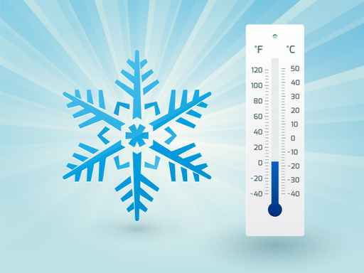
Temperatures on Thursday and Friday will struggle to get much above zero. Factor in the wind, and the National Weather Service says wind chills could be anywhere from 30 to 40 degrees below zero, worse than what was seen in February 2021 and the coldest wind chills since a minus 41 degree wind chill was observed in Topeka in December 1989.
Most Manhattan area schools are out for winter break. Kansas State University announced Tuesday afternoon it would be limiting operations Thursday and Friday to essential personnel only at its Manhattan, Olathe and Salina campuses, due to the impending weather forecast.