

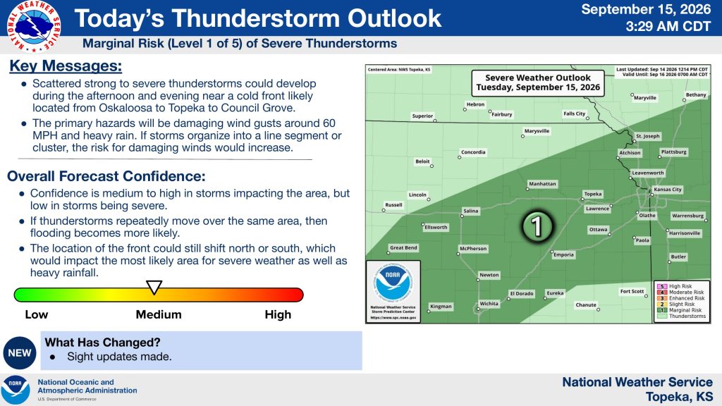


Scattered thunderstorms could bring damaging winds and heavy rainfall to parts of northeast and east-central Kansas Tuesday, with a Flood Watch in effect for portions of the region.
The National Weather Service in Topeka says scattered strong to severe thunderstorms could develop Tuesday afternoon and evening near a cold front expected to stretch from Oskaloosa through Topeka to Council Grove. The area is under a marginal, or Level 1 of 5, risk for severe thunderstorms.
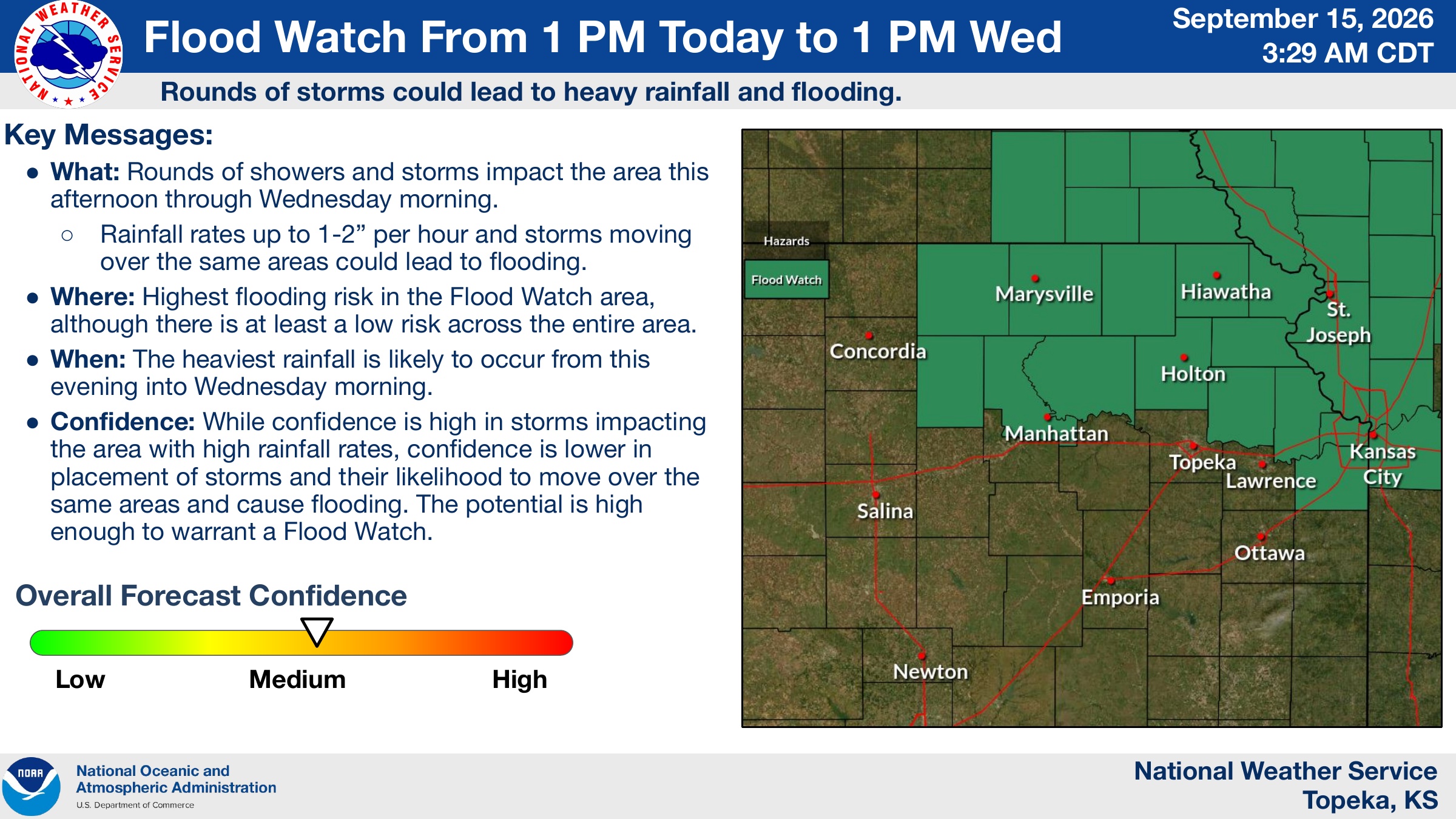
A Flood Watch is in effect from 1 p.m. Tuesday through 1 p.m. Wednesday for portions of the area. Rounds of showers and thunderstorms are expected from Tuesday afternoon through Wednesday morning, with rainfall rates potentially reaching 1 to 2 inches per hour. Repeated storms over the same locations could lead to flooding.
The heaviest rainfall is expected Tuesday evening into Wednesday morning. Forecasters say there is some uncertainty about exactly where the heaviest rain will develop because the position of the front could shift north or south.
The post Tuesday storms could pack damaging winds, torrential rainfall appeared first on News Radio KMAN.
